Remotely monitor road surfaces
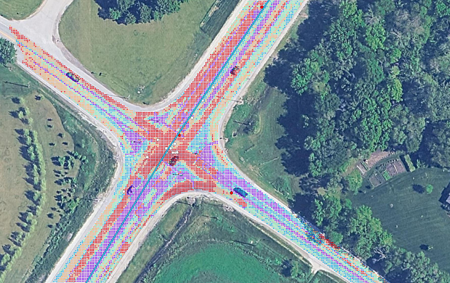
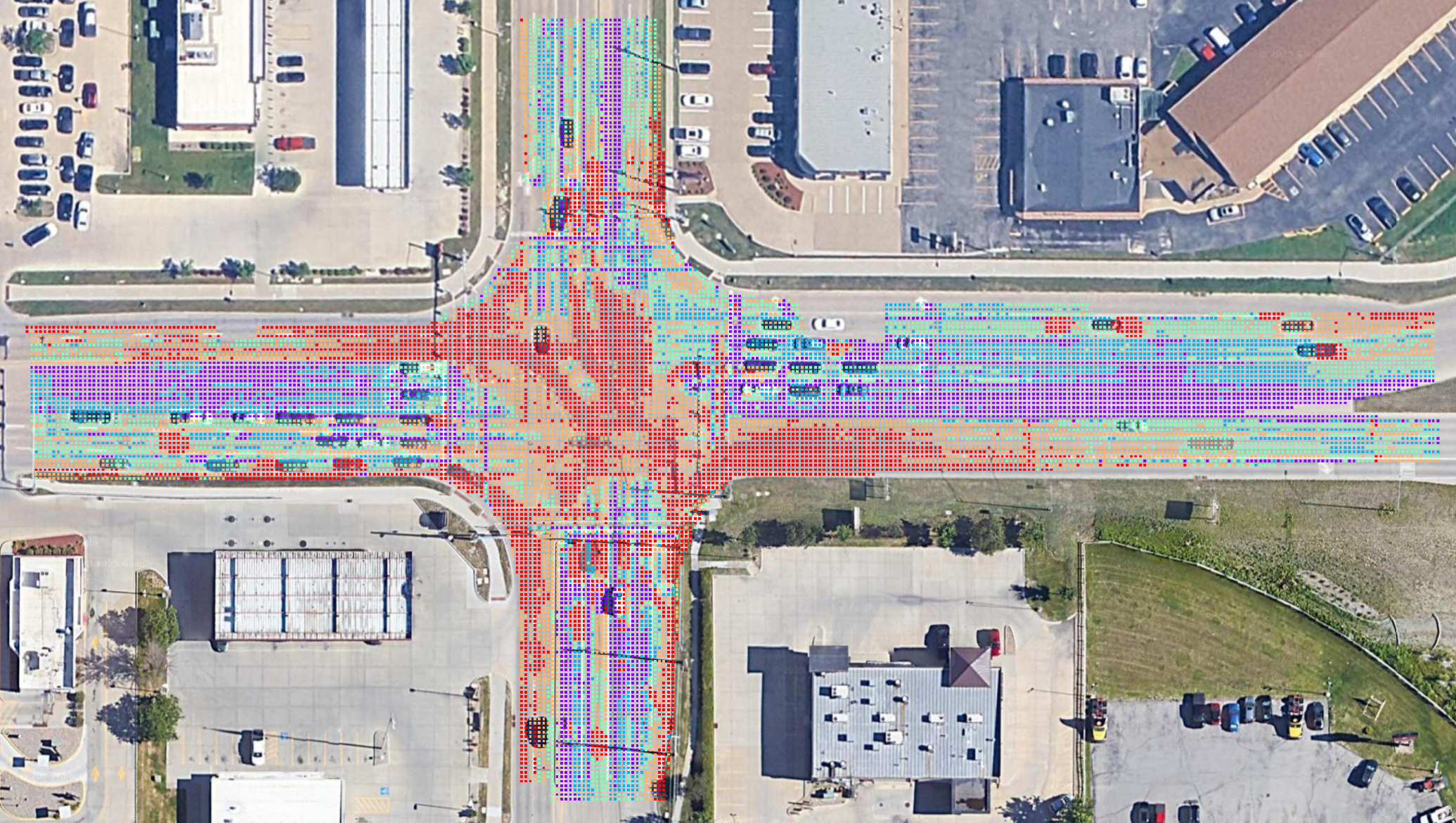
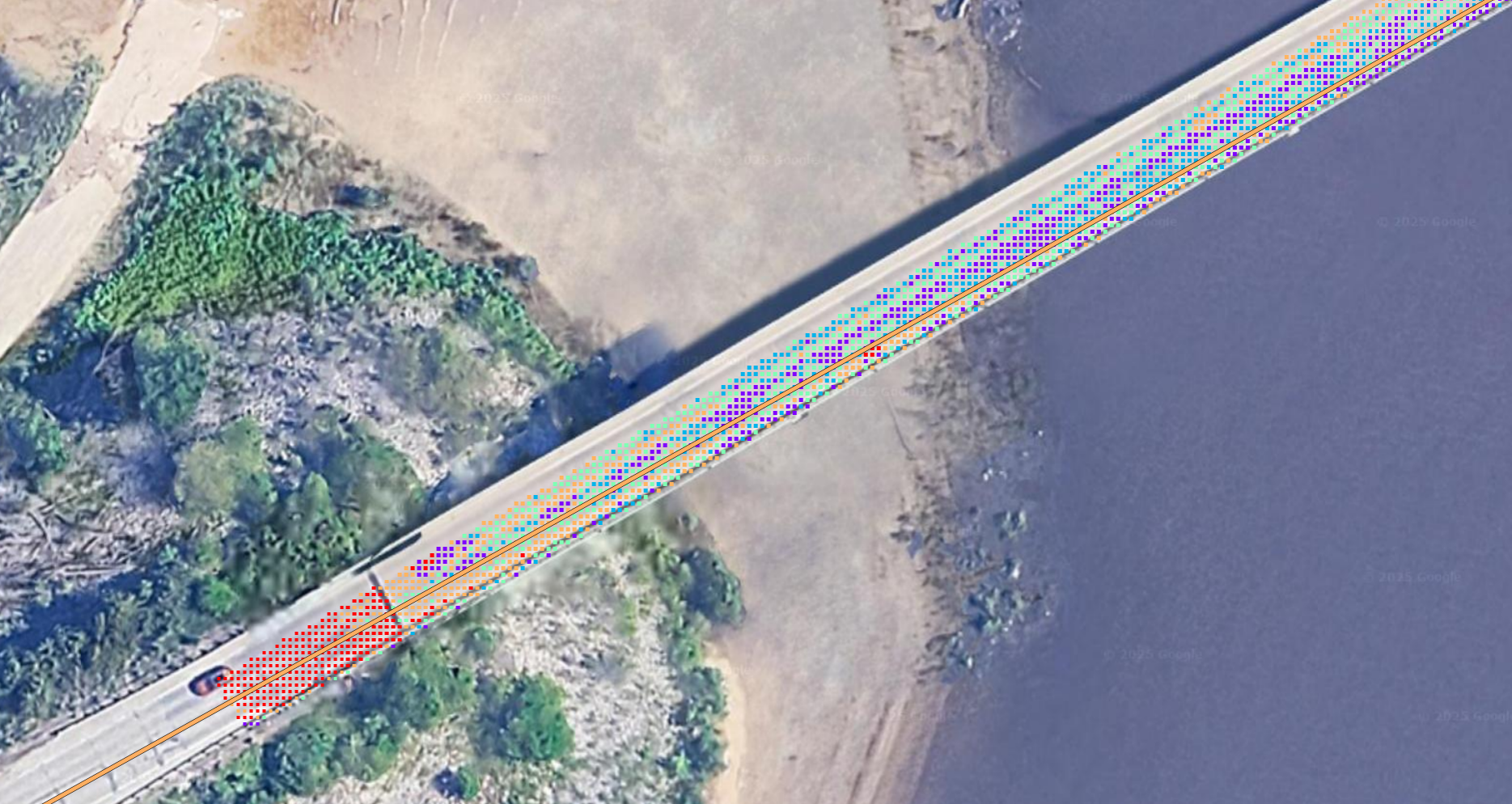
Asphalt Intelligence is a tool that helps people remotely monitor road surface by analyzing aerial imagery. Visit our training video library to get started.
Screen for further inspection
Asphalt Intelligence uses a computer vision model calibrated with historic pavement testing data and accident records. Check out our videos.
Make decisions that save lives
Asphalt Intelligence makes it easy to get valuable data about which parts of the road surface to flag for inspection. We'd love to connect with your team.
Experience the Difference
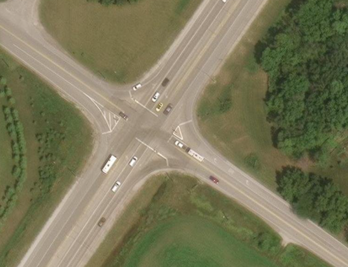
Compare raw aerial imagery with Asphalt Intelligence output.

Explore Asphalt Intelligence
Learn about the platform, access analysis tools, and find support resources.